Let's Chat Label Charlemos Label
Skip to Content
Durham County Engineering and Environmental

Stormwater GIS

Durham County Stormwater GIS

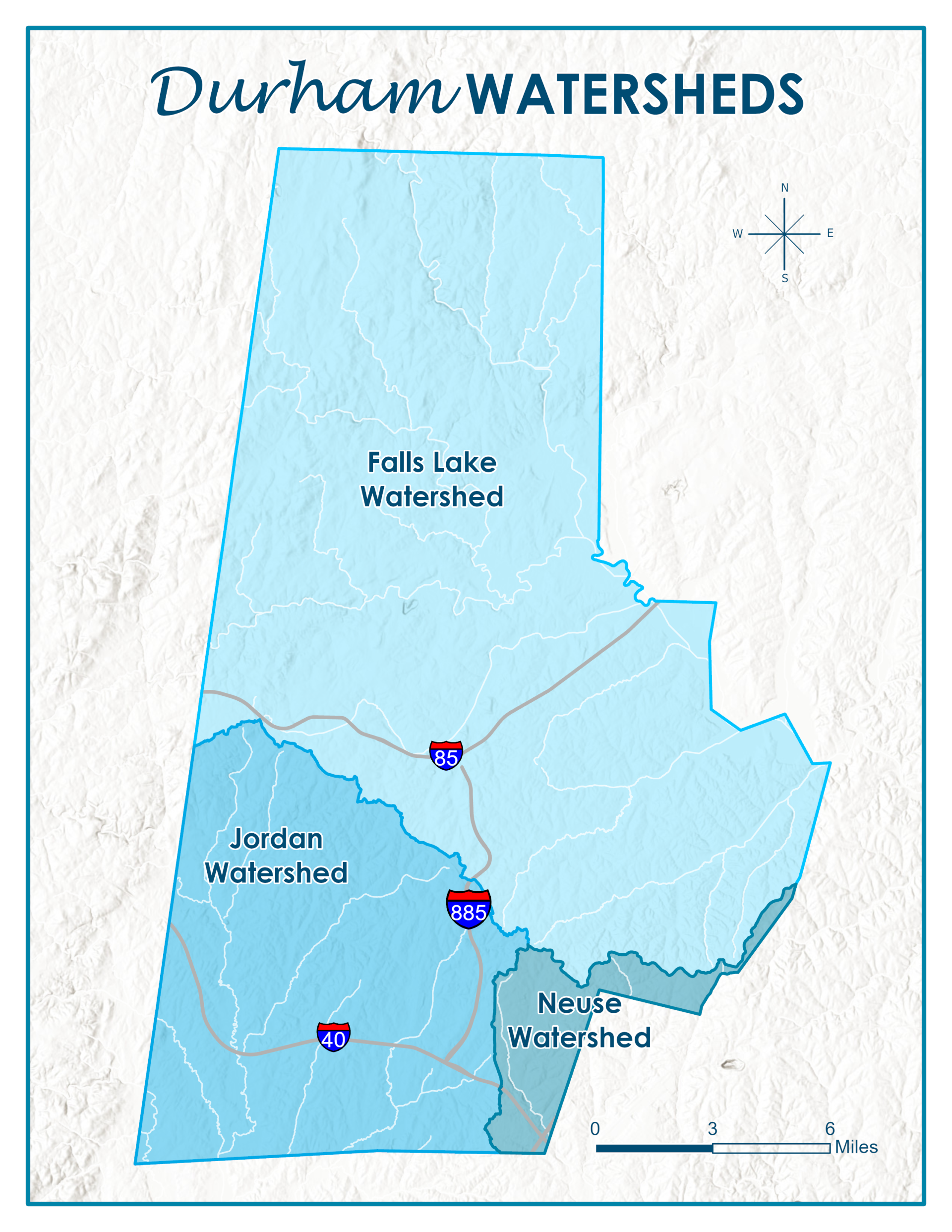
The Stormwater Division also provides GIS (Geographic Information Services) services related to County Stormwater. Our GIS Analyst develops and maintains data sets for impervious surface related to the Stormwater Utility Fee, is responsible for internal databases, interactive maps, coordinating site specific stormwater control measure data, participating in County projects and more. 
If you have a specific question related to our GIS services, please contact us at stormwater@dconc.gov

Please wait while we gather your results.

Current Projects

See Durham County's current Stormwater projects.

Read More

Education and Outreach

Request Education & Outreach and view upcoming events

Read More

Illicit Discharge Detection & Elimination

llicit Discharge Detection and Elimination is a method used to address issues regarding substances entering our drainage and waterways.

Read More

Private Lot Drainage

Read More

Stormwater

Read More

Stormwater GIS

Read More

Stormwater Glossary

Read More

Stormwater Utility Fee

More utility fee information

Read More

Stream Determinations

Stream determinations are required by Durham County to preserve water quality buffers in the Cape Fear River Basin on new development and significant redevelopment sites.

Read More