


Watershed Improvement Plans
Durham County Stormwater is partnering with the City of Durham Stormwater group and working with a consultant team to prepare an engineering study and assessment of southeast Durham watersheds, which include Stirrup Iron, Brier, and Lick Creek watersheds. This Watershed Improvement Plan is part of Durham County's efforts to improve the health of our creeks and to comply with water quality regulations set forth by North Carolina Department of Environmental Quality. For more information, email stormwater@dconc.gov.
Project Manager
McKenzie Bradshaw | mfbradshaw@dconc.gov or stormwater@dconc.gov
Project Status
Durham County Stormwater and City of Durham Stormwater are working with Wildlands Engineering, the lead consultant awarded the project, on initial assessments and data gathering in the applicable watersheds. A public field day will be held in May and open to the general public to learn more about the watershed improvement plan's goals. More information will be released regarding this event when available.
Watershed Information
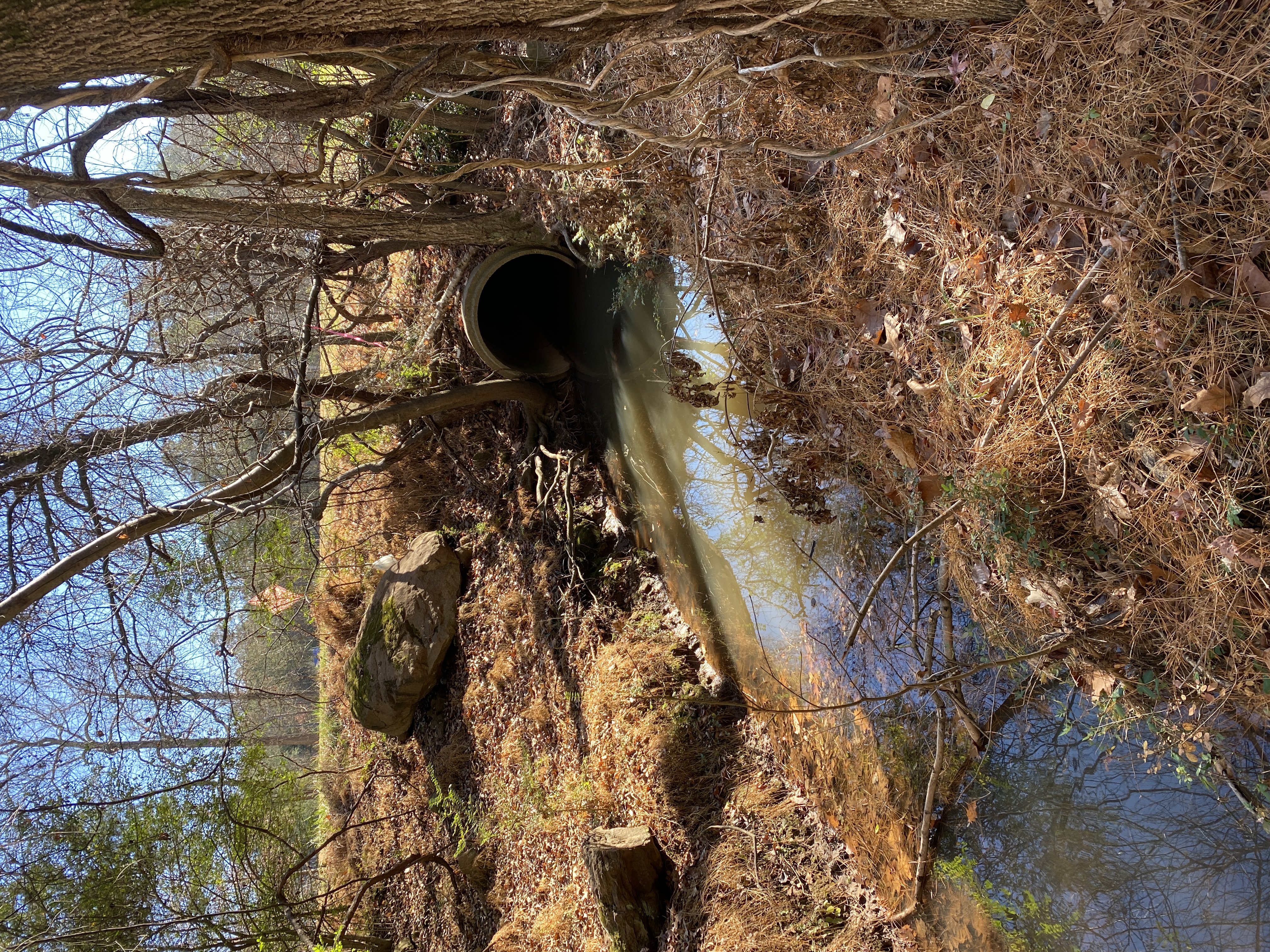
The Stirrup Iron, Brier, and Lick Creek watersheds are part of the Neuse River Basin, which flows into the Pamlico Sound before entering the Atlantic Ocean near Hobucken, NC. Lick Creek flows into Falls Lake, which is Raleigh's drinking supply. Falls Lake has a nutrient management strategy that requires reductions in nitrogen and phosphorous. The State has listed Lick Creek as impaired for benthos or aquatic life. The NC Division of Water Quality labels streams as "impaired" if they are not meeting their assigned uses.
Stirrup Iron, and Brier Creeks flow into Crabtree Creek, which flows to the Neuse River. This river is subject to the Neuse Nutrient Strategy Rules. The State has listed Brier Creek, and Little Brier Creek which is a tributary of Brier Creek, as impaired for a fish consumption advisory downstream of Durham in Wake County.
These southeast Durham watersheds cover approximately 33 square miles of southeast Durham County. About half of the area is within City limits, some of which extend into Wake County. Land use includes a mix of suburban housing as well as commercial, industrial, rural, and agricultural areas.
stirrup iron Creek, brier creek & lick Creek Field Assessment
The County and City will work with the consultant team to assess Southeast Durham watersheds. An assessment is like a health check-up for a watershed and its streams. This assessment will evaluate current stream conditions and water quality to identify potential improvements. The final plan will highlight projects that can improve the health of these watersheds and create value for the community.
Additional Project Information
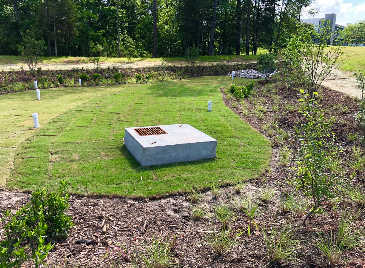
Stormwater Control Measures (SCMs) (PDF) can be physical devices such as stormwater ponds or activities such as picking up pet waste that protect the environment from polluted runoff. SCMs can be used to prevent, reduce or offset stormwater runoff and pollution. They are also referred to as “Best Management Practices” or BMPs. The Environmental Protection Agency (EPA) defines BMPs as “techniques, measures or structural controls that are used to manage the quantity and improve the quality of stormwater runoff in the most cost-effective manner.”