


Wildlife Habitat Corridors and Landscape connectivity in durham county
Landscape Analysis for wildlife habitat connectivity in durham county (2023)
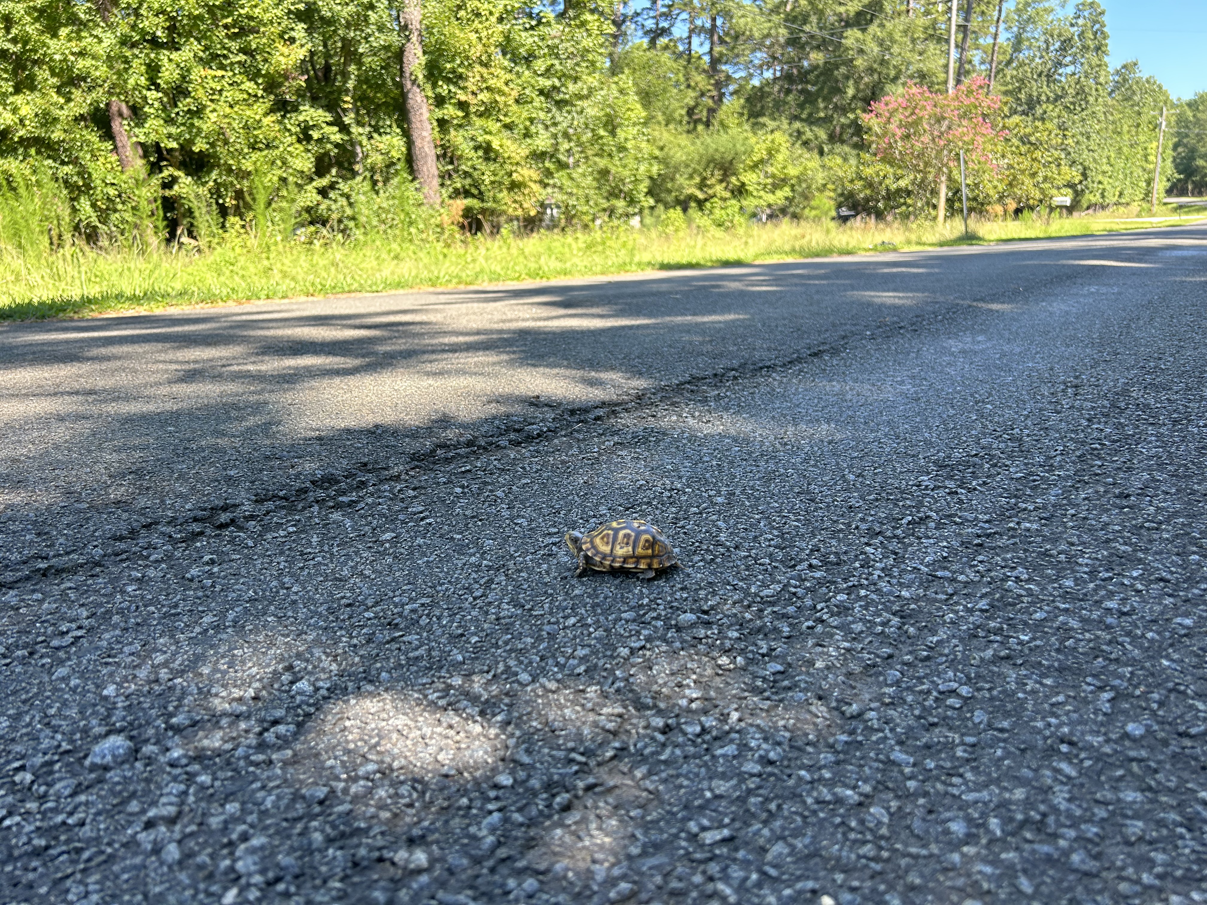
From its inception, the Durham County Open Space Program has focused on conserving landscape corridors, areas which serve as vital connections between larger blocks of protected land. These corridors safeguard biodiversity, allow wildlife to move between habitats, and ensure that our lands provide necessary ecosystem services. In 2020, the Open Space Program used a grant from the Burt’s Bees Foundation to support an analysis of landscape connectivity across Durham County with the goal of identifying priority corridors for conservation. Building on a previous 2019 connectivity analysis of the Eno and New Hope Creek watersheds, biological data and geographic information were used to map wildlife habitat, movement corridors, and major road barriers throughout the county. This report, and the datasets from the analysis, will help the Open Space Program and other organizations prioritize conservation efforts in Durham County and the surrounding region.
Click here to learn more about the study and explore the data.
To read the full report, click here. To obtain the GIS data from this report, please contact Celeste Burns at cburns@dconc.gov or 919-784-1023.